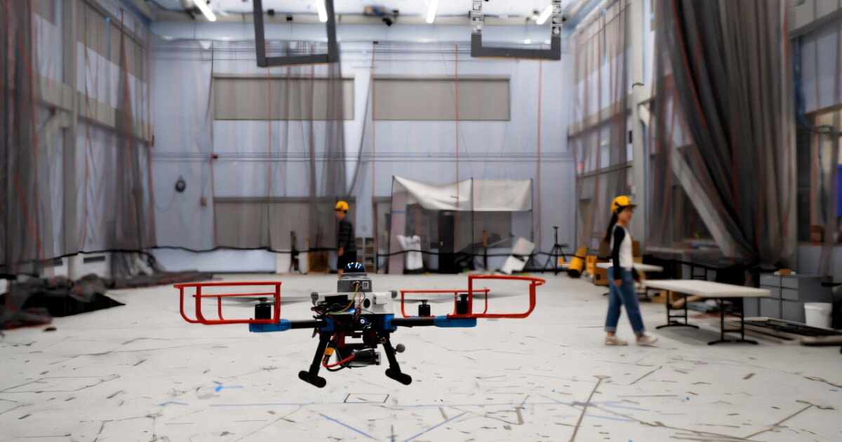
MIT's SANDO (Safe Autonomous Navigation with Dynamic Obstacles) planner offers provable collision avoidance without prior maps. The system detects moving obstacles, wraps each in a virtual sphere representing every position it could reach within its speed limit, then constructs a time-varying safety corridor through obstacle-free space. A separate heat-map planner steers the drone toward less congested routes, with both corridor and trajectory updating continuously onboard.
The mathematical guarantee depends on a key assumption: obstacles must not exceed their assumed maximum speed. If that bound holds, SANDO guarantees safety. The system does not predict where obstacles will go—it plans around where they could go, treating uncertainty as a design constraint rather than a prediction problem.
In testing, SANDO outpaced several state-of-the-art planners in simulated environments and achieved zero collisions across 12 physical drone flights. The work was motivated by disaster response needs following Fukushima, where human proximity to hazards drove interest in autonomous navigation through dynamic, debris-filled environments.
Limitations remain. Twelve successful flights demonstrate feasibility but not operational maturity. The speed-bound assumption creates an edge case: any object moving faster than the assumed limit falls outside the safety guarantee. Next steps include reducing computational load, integrating natural language tasking via ML, and coordinating multiple drones for distributed search operations.
The research appears in IEEE Transactions on Robotics. Lead author Kota Kondo recently completed his doctorate in aeronautics and astronautics at MIT.